With the Pennine Way behind us, Stage 7 took us south through the Peak District, across Staffordshire and down to the River Severn. It was gentler underfoot, but full of nettles – and full of friends and family joining us on the way.
Stage 7 at a glance
- Dates: 27 July – 12 August 2019
- Route: Edale – Taddington – Biggin – Ashbourne – Uttoxeter – Abbots Bromley – Shugborough – Brocton – Brewood – Pattingham – Enville – Bewdley – Holt Fleet – Kempsey – Tewkesbury
- Distance: about 149 miles (around 750 in total)
- Steps: about 362,000 each
- Walking days: 13, plus 4 rest days
- Weather: fog, a Derbyshire downpour and hot summer sunshine
Limestone, rain and a downhill railway
Leaving Edale on the Limestone Way, the hills gave way to rolling dales – until a foggy mist rolled in and we could barely see twenty feet ahead. The next day was the wettest of the whole walk, with rivers of rain running down the Derbyshire lanes, so we stuck to the roads.
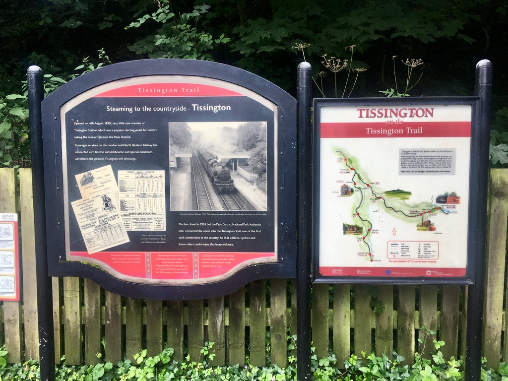
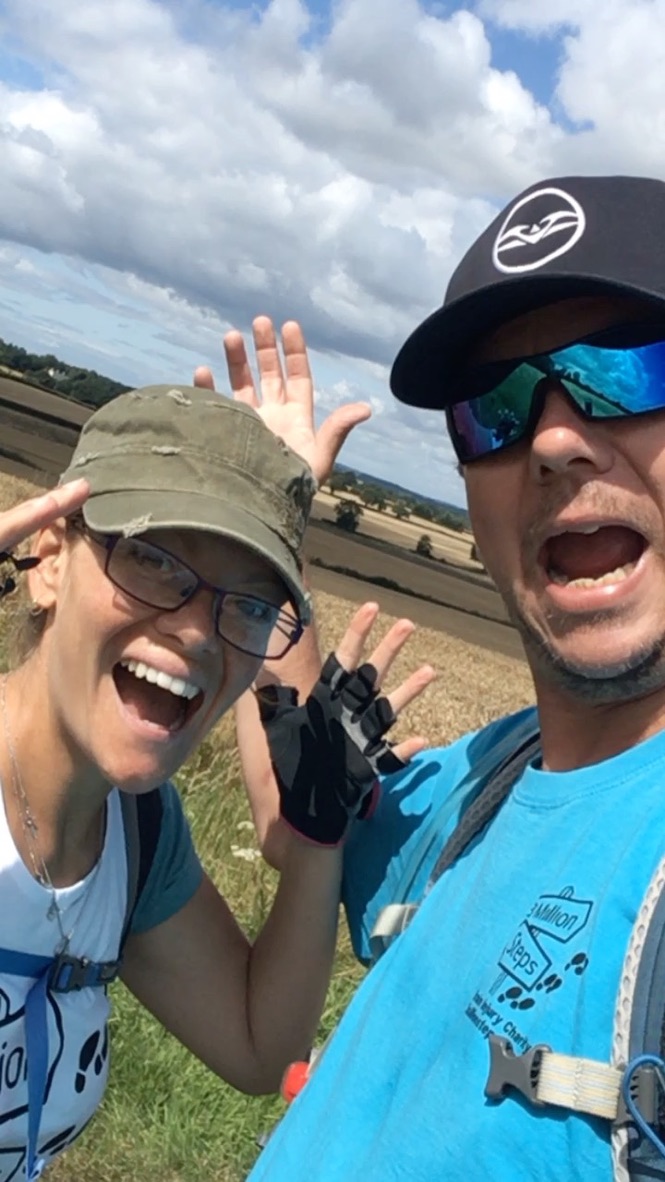
Then came a treat: the Tissington Trail, an old railway line that’s flat, traffic-free and gently downhill – 733 feet of descent from Biggin to Ashbourne. What more could we ask for? In Ashbourne I also discovered that children’s cycling gloves fit me perfectly. Cheaper, comfier and no more hand blisters from my poles.
Our new nemesis: the Staffordshire Way
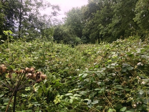
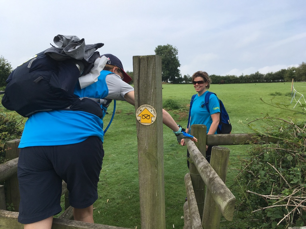
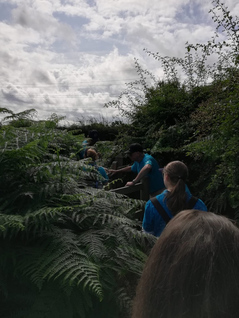
From Ashbourne we joined the Staffordshire Way, which quickly became our number one nemesis. Much of it was badly overgrown with stinging nettles. One section took us forty minutes to walk less than a quarter of a mile, and we put on our waterproof trousers just to stop the stings. Later, near Brewood, we got completely lost in a field of maize taller than Ian, following his voice with my head down while leaves slapped us in the face.

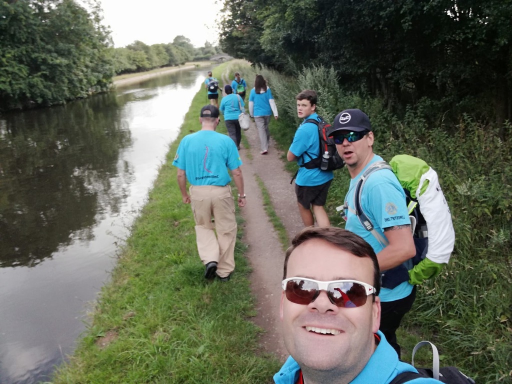
There were good bits too: hundreds of pheasants near Abbots Bromley, peaceful canal towpaths and a narrowboat photo for Mum.
Walking with my physio
From Abbots Bromley we were joined by Rachel – the physio who got me walking again. Having her walk beside me along the canal and past Hadrian’s Arch on the Shugborough estate was extra special. She’d even brought her physio table, so my legs got some attention at the end of the day.
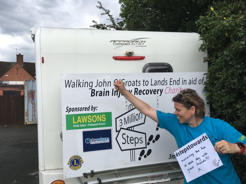
The Lions Clubs looked after us brilliantly – Wolverhampton Lions even treated us to a rest day at Patshull Park, with a real bed and a full English.
Family day and 700 miles
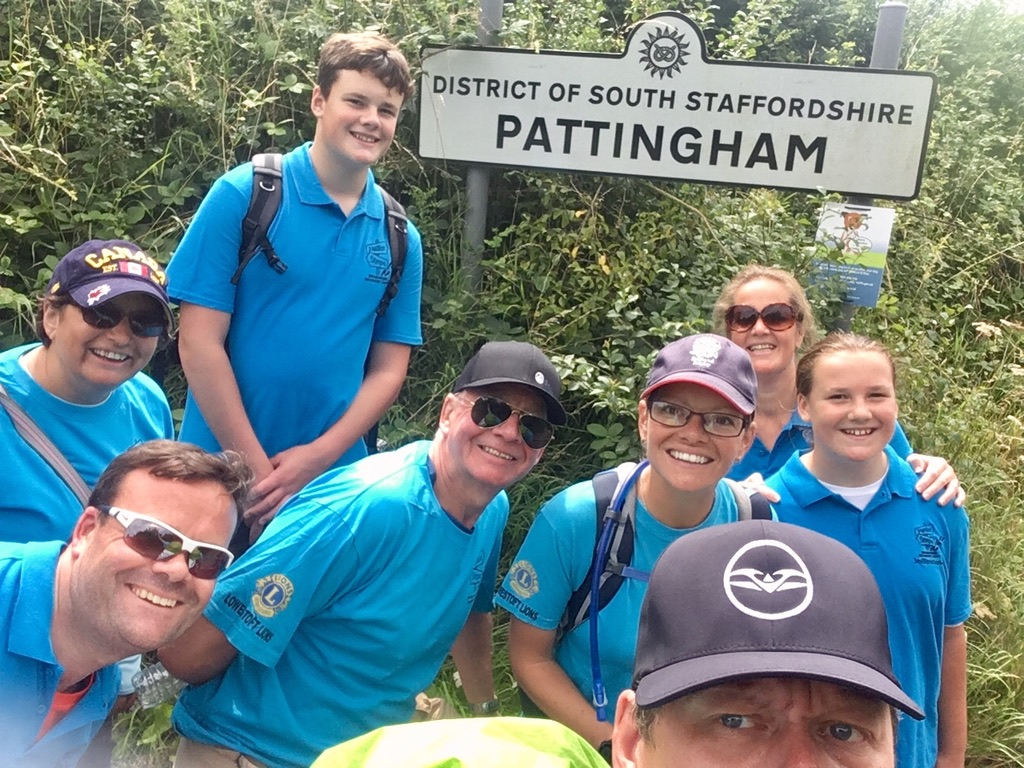
Near Pattingham it became a proper family catch-up: my brother Mark and his wife Fiona, my niece Rebecca and nephew Scott, and my uncle Brian and aunt Shona all walked with us. Scott took the front as chief nettle-basher; Rebecca stayed at the back with Fiona and the snacks.
Near Enville we passed 700 miles. That night we stayed at Enville Hall, where we met someone whose son had recently had a brain injury. She understood my naps and my tiredness without me having to explain. That doesn’t happen often, and it meant a lot.
Down the Severn
From Enville we followed the North Worcestershire Path past Kinver Edge to the River Severn at Bewdley. We were now well over halfway – but our fundraising wasn’t yet, so we asked everyone to help us ramp it up.
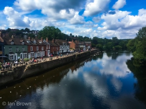
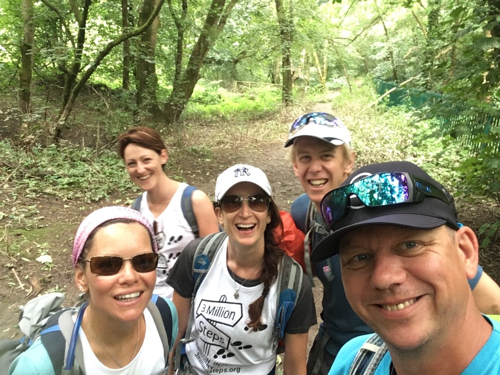
Along the Severn Way we had company again: my friend Kelly and her dog Charlie, with her husband Shaun as driver, and Louise and James, who were training for their honeymoon trek up Kilimanjaro. When we ran out of snacks at Holt Fleet, two passing cyclists handed us homemade samosas. The stage ended with 14.2 miles to Tewkesbury, the last two through ankle-deep nettles and tangled vines. Those two miles took two hours.
Tips if you’re walking this stretch
- Use the Tissington Trail between Biggin and Ashbourne – flat, traffic-free and downhill heading south.
- Expect nettles in summer on parts of the Staffordshire Way and Severn Way. Long trousers are a must.
- Carry a phone map as well as signs. Waymarks can disappear into crops and undergrowth.
- Try cycling gloves if walking poles give you blisters.
- Allow extra time on overgrown paths. Our 12-mile day to Tewkesbury became 14.2.
Local facts we picked up along the way
- The Limestone Way is named after the rock it crosses, formed around 300 million years ago.
- The Tissington Trail follows the old Ashbourne to Buxton railway line.
- Hadrian’s Arch at Shugborough, built in the 1760s, is a copy of Hadrian’s Arch in Athens.
- The River Severn is Britain’s longest river, and the Severn Way follows it for over 200 miles.
What’s next
Catch up on Stage 6: the Yorkshire Dales to Edale. In Stage 8 we head through Gloucester, the Cotswolds and Somerset towards Devon. See every stage and watch our film on the Our JOGLE page.
Inspired? Set your own challenge, any distance and any pace, and help other brain injury survivors keep going. Find ideas, our info pack and sponsor form on our Fundraise for us page. If you or someone you care for is living with a brain injury, you can apply for funding here.